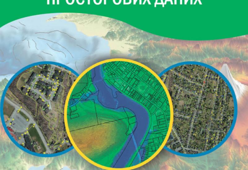
The development of modern information technology requires constant updating of courses and programs. In particular, the direction of spatial data infrastructure and geoinformation technologies in Ukraine are not equipped enough with modern Ukrainian-speaking educational literature. Therefore, the publication of two educational guidances in the field of geographic information technologies ESC "World Data Center for Geoinformatics and Sustainable Development" is an important event not only for the Igor Sikorsky KPI, but for all Ukrainian scientific and educational community in this field. Development of educational guidances was carried out jointly by Canadian and Ukrainian experts as part of the technical support "Laying the foundations spatial data infrastructure: ensuring the base in the Ukrainian government to support sustainable economic growth." Both manuals received a recommendation from the Methodological Council and stamp from the Igor Sikorsky KPI Academic Council.
The first of them - "Introduction to GIS Spatial Data Infrastructure" (by B.Mahvair, N.M. Pashyns’ka, L.M. Datsenko, M. Hovorov V.V. Putrenko). The theoretical foundations and practical information about geoinformation systems and technologies which are the basis for the further successful development of geoinformation technologies and GIS areas. Particular reference is made to connection between geoinformation technologies and spatial data infrastructure, which is one of the main components of modern information society.
The second - "Control database location spatial data" (D.Kejk, A.A. Lyaschenko, V.V. Putrenko, Y. Hmelevskyj, K.S. Doroshenko, M. Hovorov). It sets out the theoretical background and practical information on the structure and use of database location. The foundations of the general theory of databases, relational and object-relational model, the basic provisions of international standards for SQL-database access to geospatial data were considered, the guidance and practical exercises concerning on the ESRI geodatabase structure had also been lodged.
Total of six manuals were planned to develop according to their educational cources which were implemented at the project. They should be used in educational process for specialists of technical and geographical specialties of higher educational institutions, as well as they should be used in postgraduate courses for civil servants in the field of land administration, geodesy, cartography and information technology.

